
WHEN
Saturday, 5 September, 2026 starts at 11:15 - 16:30
WHERE
Braystones Station
Pathway off unnamed lane
Braystones
CA21 2YW
DETAILS
Leader: Jon Merritt
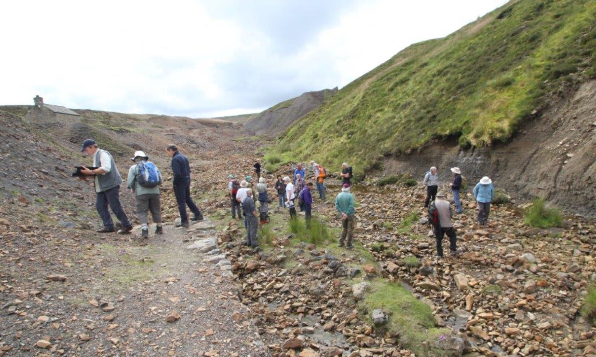
The coastal path allows easy access to view glacial landforms and to study sediments at several localities between Braystones and St Bees. These provide an insight into subglacial and ice-marginal processes that operated during the latter stages of the last glaciation in the region. The excursion is planned to start at c.11.10 am at Braystones Station [NY 0010 0597], joining up with participants who have taken the train from St Bees at 11.00 am. The first stop will be a degraded cliff section beside the River Ehen at Warborough Nook [NY 0085 0494], a quiet locality good for a picnic. The route then follows the coastal path through Lowside Quarter to Nethertown Beach [NX 9881 0734], where we can examine a raised beach and cliff sections around the promontory. The coastal path is then followed back to St Bees stopping at several small sections and scrapes at the back of some large, but stable, landslips. The excursion ends at the southern end of the St Bees Moraine at Sea Mill [NX 9695 1074] where there is parking for cars only. The route is c.10 km over gently undulating ground, but includes walking on a bouldery shingle beach at Nethertown.
There are trains back to Braystones from St Bees at 16.30 and 18.30 pm calling also at Nethertown (by request only).
Participants are advised to buy rail tickets in advance.